Location made easy
Get a complete set of features without any coding


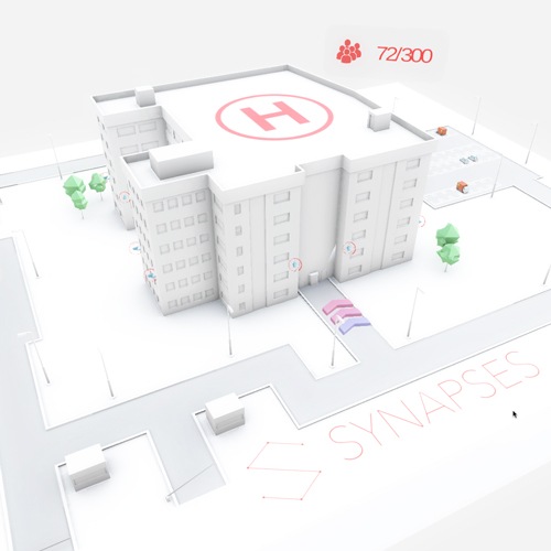
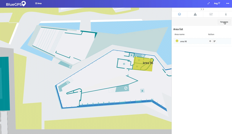
Smart Map
The best tool to efficiently import, scale and immediately
use your maps on PC or apps.
BlueGPS supports all raster (JPG, PNG, ...) and vector
format (SVG)


Building Navigation
Advanced navigation and routing
Search for and add destinations. Follow your routes, receive alerts and incoming messages from the field in real time. Quickly respond to new requirements by understanding where resources are.
-
Custom navigation
-
Based on your maps
-
Room, Coworker or Asset finding
Location runs best with BlueGPS
BlueGPS is an agile industry 4.0 solution to make manufacturing and production processes flexible and connected
Beautiful maps
Create visually stunning Maps quickly, using the BlueGPS platform.
Analytics
Make data-driven decisions about your project.
No coding
Visual configuration and customization. We can support you, enabling you to do everything independently.
Android/iOS/Web
Load your map and immediately use the BlueGPS native application, bringing all the functions you need with you.


Custom event
Supercharge your applications with our location-based events. Design, assign and organize any event you need, for groups, single users or based on a specific area

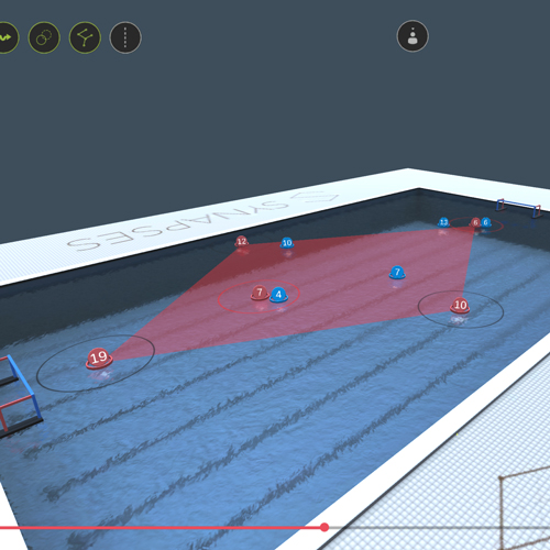
Spaghetti Analisys
Integrate data from multiple sources
Combine data from various sources and formats. BlueGPS can integrate industry and community standards, to ensure the inclusion of any dataset you have.
-
100% Configurable
-
Well-documented
-
Multi-language platform
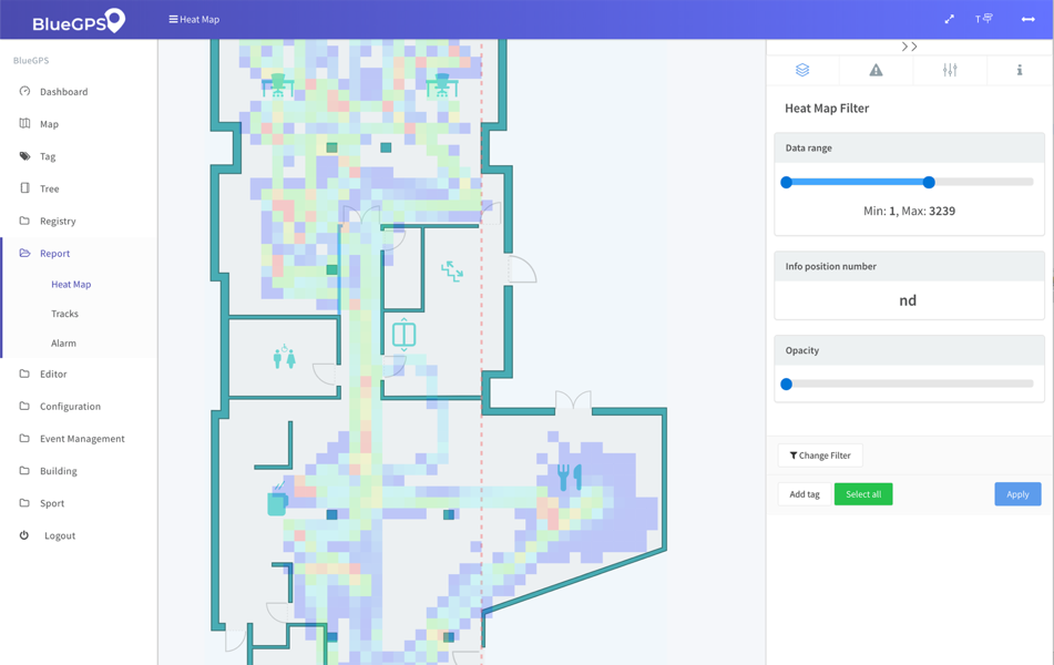
Data Visualization
Our Best Features
Create thematic interactive maps that allow you to explore and understand their geographic data.
-
Heatmap saturation filter
-
Custom look and feel
-
Very large capacity for data elaboration
Mobile App
Take advantage of location. See where things happen. Analyze detailed incident maps. Generate alerts when something goes wrong. Available for iOS and Android